SÃO LOURENÇO (CHAVES)
GPS: N 41.72387; W 7.41756
The village of São Lourenço is also linked to ancient history as it is located next to a prehistoric village, on a platform that extends to Penedo do Califa.
This village also passed through the Roman route, which went to Pinetran and from which there are still some sections, such as what is visible from the Miradouro de São Lourenço and, to the east of the village, there is still a Roman bridge with an arch.
Chaves finally has its own wooden walkways, part of the new São Lourenço Trail (PR10 CHV), a 9.6-kilometer walk, which runs through the villages of São Lourenço and Cela and allows you to discover the ancient Roman route, a medieval bridge, a Roman bridge, the São Lourenço viewpoint, with spectacular views over the city of Chaves, old windmills and beautiful waterfalls (the Ribeiro de Palheiros waterfalls). It is a very easy walk that can be done by everyone.
Begin the walk on the Ribeira das Avelãs road in the Eiras area. On this part of the trail, we pass old mills, before starting the route with wooden walkways and small waterfalls. If you really want to enjoy them, it is better to go there before the summer (there will be water) because the place is really beautiful and you can even dive. After the walkways, the path is very steep for some time and slippery (it is better to use adapted shoes) until you reach the old Roman road and then to the famous São Lourenço viewpoint, which offers a great view over the city.
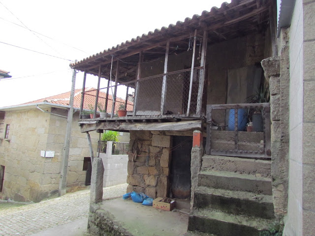
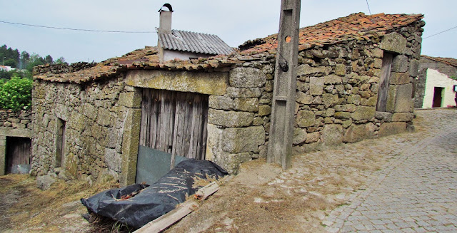
Continue the walk along the N213 road until you reach the village of São Lourenço where you can see the Church and old houses. After passing São Lourenço, take a dirt road that goes up to the very typical village of Cela, with a tank, cruises, an old school, a chapel, old houses, and a spectacular view over the Chaves valley. After Cela, the path goes down again and up a little. We arrived at Rua da Ponte and passed a bridge. Being circular, the trail continues until the N213 road, near São Lourenço, and we end at the Eiras area, on a dirt track.
💓💓💓💓💓
SEARCH IN ALPHABETICAL ORDER IN
THE DISTRICT OF VILA REAL.
💓💓💓💓💓
Return to mainland Portugal &
the Azores and Madeira islands


