PARQUE NATURAL DO ALVÃO
41° 22′ 26.55″ N; 7° 49′ 1.89″ W
The park is located in the Trás-os-Montes and Alto Douro provinces, in the district Vila Real, divided between the municipalities of Vila Real (parishes of Borbela, Lamas de Olo and Vila Marim) and Mondim de Basto (parishes of Ermelo [pt] and Bilhó), occupying an area of 7220 hectares or 72.2 square kilometres (27.9 sq mi).[
The highest peak in natural park is Caravelas, 1,339 metres (4,393 ft) above sea level, and the lowest point is Lousa along the Rio Olo, roughly 260 metres (850 ft) above sea level. There is an altitudinal range of 1,079 metres (3,540 ft), and the park is divided into two zones: an elevated area along the Rio Olo watershed that mostly corresponds to the parish of Lamas de Olo, and a lower area that includes Ribeira de Fervença and the Olo watershed in the parish of Ermelo. The transition between the two is marked by a sudden drop associated with the Fisgas waterfall.
Climate
The park has a temperate Atlantic climate with Mediterranean characteristics. The headlands of the Olo River are influenced by maritime air masses that rise over park's eastern boundary.This results in heavy precipitation during the winter months. These months are cold and rainy, with frequent snow showers in the high altitudes, while in the summer it is dry and warm. Most rain occurs in the colder months, while during the dry periods there is little rainfall, or concentrated in one month. The variation in slope allows for a diverse microclimate, with different vegetation between high and low altitudes. The combination of microclimatic conditions and rainfall has resulted in a lush landscape.


😅😅😅😅

FISGAS DE ERMELO (MONDIM DE BASTO)
(TRILHO DAS FISGAS DE ERMELO)
The pedestrian trail, the PR3 Fisgas de Ermelo starts in the village of Ermelo and has a length of about 13km. There are about 5 hours of a very demanding route on a physical level because the gap is quite steep and the floor is very uneven. It is advisable to use appropriate footwear.
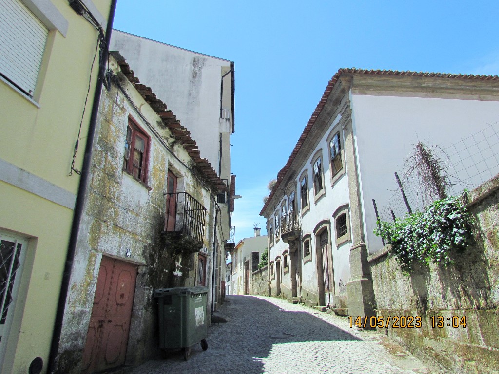
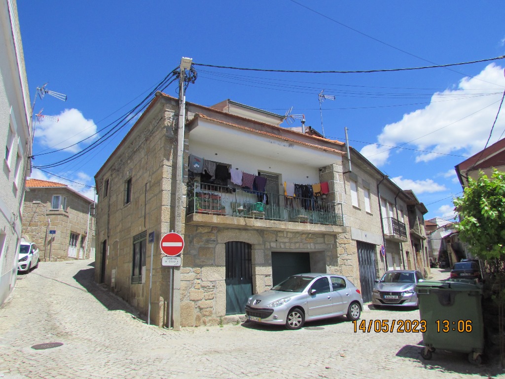
The place of departure and arrival is located in the village of Ermelo next to the Parish Church.
The pedestrian trail, the PR3 Fisgas de Ermelo starts in the village of Ermelo and has a length of about 13km. There are about 5 hours of a very demanding route on a physical level because the gap is quite steep and the floor is very uneven. It is advisable to use appropriate footwear.
The place of departure and arrival is located in the village of Ermelo next to the Parish Church.
41º 21 ’37” N; 07º 53 ’21” W
The Cascata das Fisgas de Ermelo is a waterfall (cascade) located next to the Union of Parishes of Ermelo and Pardelhas, municipality of Mondim de Basto, district of Vila Real, in Portugal.
This waterfall is one of the largest waterfalls in Portugal and one of the largest in Europe outside Scandinavia and the Alps, and does not precipitate in a single vertical jump: it does it in several jumps, as it progressively crosses a large quartzite barrier, in a deep terrace. Its waters separate the granite zones from the schist zones of the surrounding lands.
The height of this waterfall is 200 meters long, dug by the calm but persistent waters of the Olo River, which is born in the Natural Park of Alvão.
Before the start of the waterfalls, there is a group of crystalline lagoons upstream, many of which are used in the summer season.
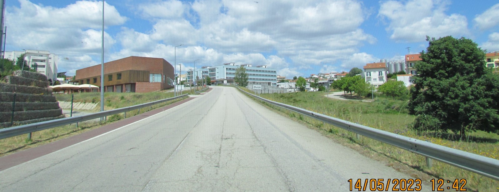
To reach the Cascata, you can use forest roads that connect Lamas de Olo to Ermelo or from Mondim de Basto and Vila Real via the EN304 road near the village of Ermelo and the bridge over the river Olo
This waterfall is one of the largest waterfalls in Portugal and one of the largest in Europe outside Scandinavia and the Alps, and does not precipitate in a single vertical jump: it does it in several jumps, as it progressively crosses a large quartzite barrier, in a deep terrace. Its waters separate the granite zones from the schist zones of the surrounding lands.
The height of this waterfall is 200 meters long, dug by the calm but persistent waters of the Olo River, which is born in the Natural Park of Alvão.
Before the start of the waterfalls, there is a group of crystalline lagoons upstream, many of which are used in the summer season.
To reach the Cascata, you can use forest roads that connect Lamas de Olo to Ermelo or from Mondim de Basto and Vila Real via the EN304 road near the village of Ermelo and the bridge over the river Olo
GPS COORDINATES OF A VIEWPOINT ON THE SIDE OPPOSITE WATERFALLS, AND SOMETHING DISTANT FROM THEM.
GPS: N 41.37655; W 7.87039


GO BACK TO THE SEARCH IN ALPHABETICAL ORDER IN THE DISTRICT OF VILA REAL.

💛💛💛💛💛💛💛