POSSACOS + CACHÃO +
PRAIA DO RABAÇAL +
PONTE DO ARQUINHO
GPS: N41.61523; W 7.27447
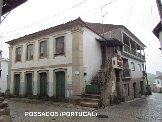
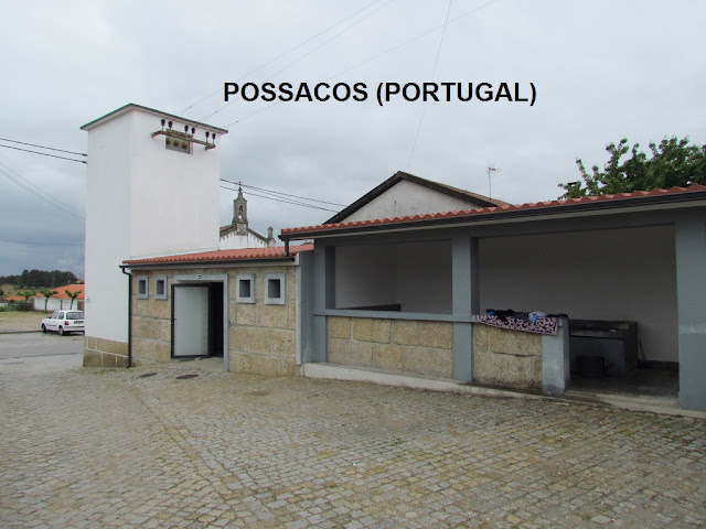
It is a parish with a very remote settlement, which has preserved several traces of prehistoric times.
The fact that it is located on the right bank of the Rabaçal river will have favored the initial settlement of the parish, which consists of the places of Possacos and Cachão, a small place by the river.
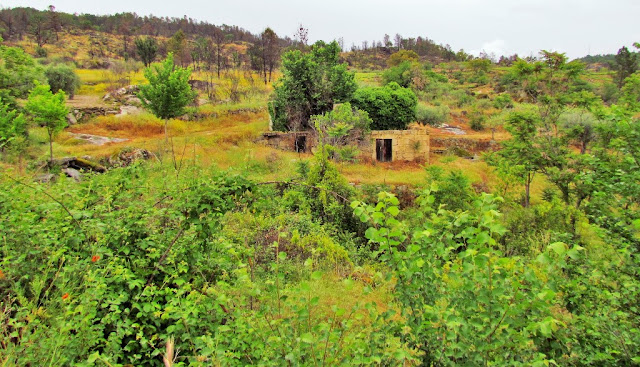
Abandoned Village
GPS : N 41º 35,896; W 7º 15,517
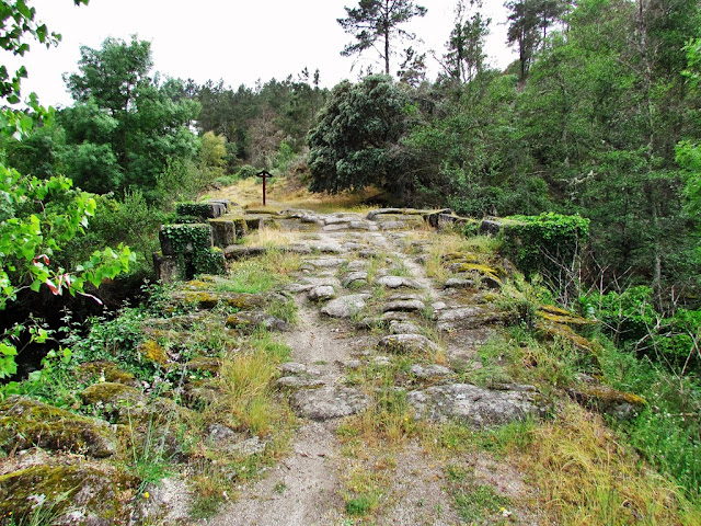
Via Augusta (Roman Road)
(Possacos - Valpaços)
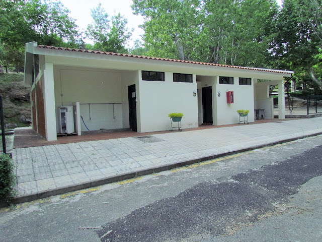
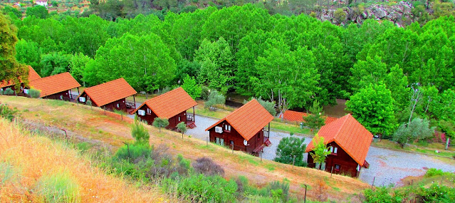
"RABAÇAL" RIVER + CAMPING
Camping Rabaçal - Valpaços
01Jan-31Dec (Tel 00 351 278 759 354)
(Possacos - Valpaços)
GPS: N 41.62132, W 7.25792
The “Arquinho” Roman Bridge is located in Possacos village, situated in the charming Calvo river valley. This historical building probably dates back to the first century A.D., during the territory’s Roman occupation, and would integrate the Roman’s Empire Via XVII, which would link "Bracara Augusta" (Braga) to "Asturica Augusta" (Astorga, Spain). On site were found milestones assigned to Maximino and Maximus emperors, attesting to the historical and archaeological importance of the monument. The bridge is characterized by its 7.5 meters wide plane tray, based on a single perfect round arch. An apparatus in regular rows of marked padded (cushioned) ashlars "forfex". The arch’s base presents protruding ashlars on both sides to support the falsework during construction.
GPS: 41.63235; 7.24774
01Jan-31Dec (Tel 00 351 278 759 354)
💓💓💓💓💓
SEARCH IN ALPHABETICAL ORDER IN
THE DISTRICT OF VILA REAL.
💓💓💓💓💓
Return to mainland Portugal &
the Azores and Madeira islands


