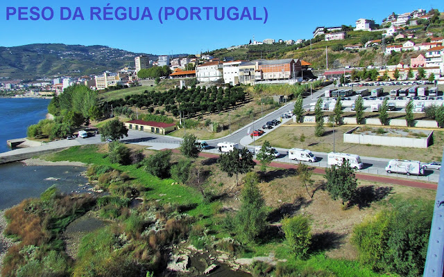
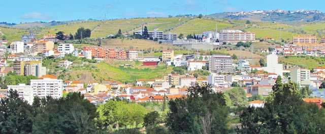
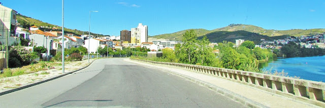
PESO DA RÉGUA
N 41.15563; W 7.78172
It is the seat of a municipality with an area of 94.86 km² and 17 131 inhabitants (2011), subdivided into 8 parishes.
The municipality is limited to the north by the municipalities of Santa Marta de Penaguião and Vila Real, to the east by Sabrosa, to the south by the Douro River (Lamego and Armamar counties) to the southwest by Mesão Frio, and the west by Baião.
Peso da Régua has a Mediterranean climate (Köppen: Csa) with hot, dry summers and cool to mild, wet winters. The average annual temperature is 22 °C (72 °F) during the day and 10 °C (50 °F) at night.
💓💓💓💓💓
SEARCH IN ALPHABETICAL ORDER IN
THE DISTRICT OF VILA REAL.
💓💓💓💓💓
Return to mainland Portugal &
the Azores and Madeira islands


